
Aldo Aniasi Park (former Trenno Park)
Town Hall 7
Entrance: via Novara | via Lampugnano
Opening hours: free access
How to Get There:: buses 64/72/78/80
Area: 590.500 sqm
Year of realization: 1971
Designers: Milan Municipality Technical Office
What to do at the park:
- ride a bicycle along the avenues;
- running: there is a 4 km running route (see map);
- life paths;
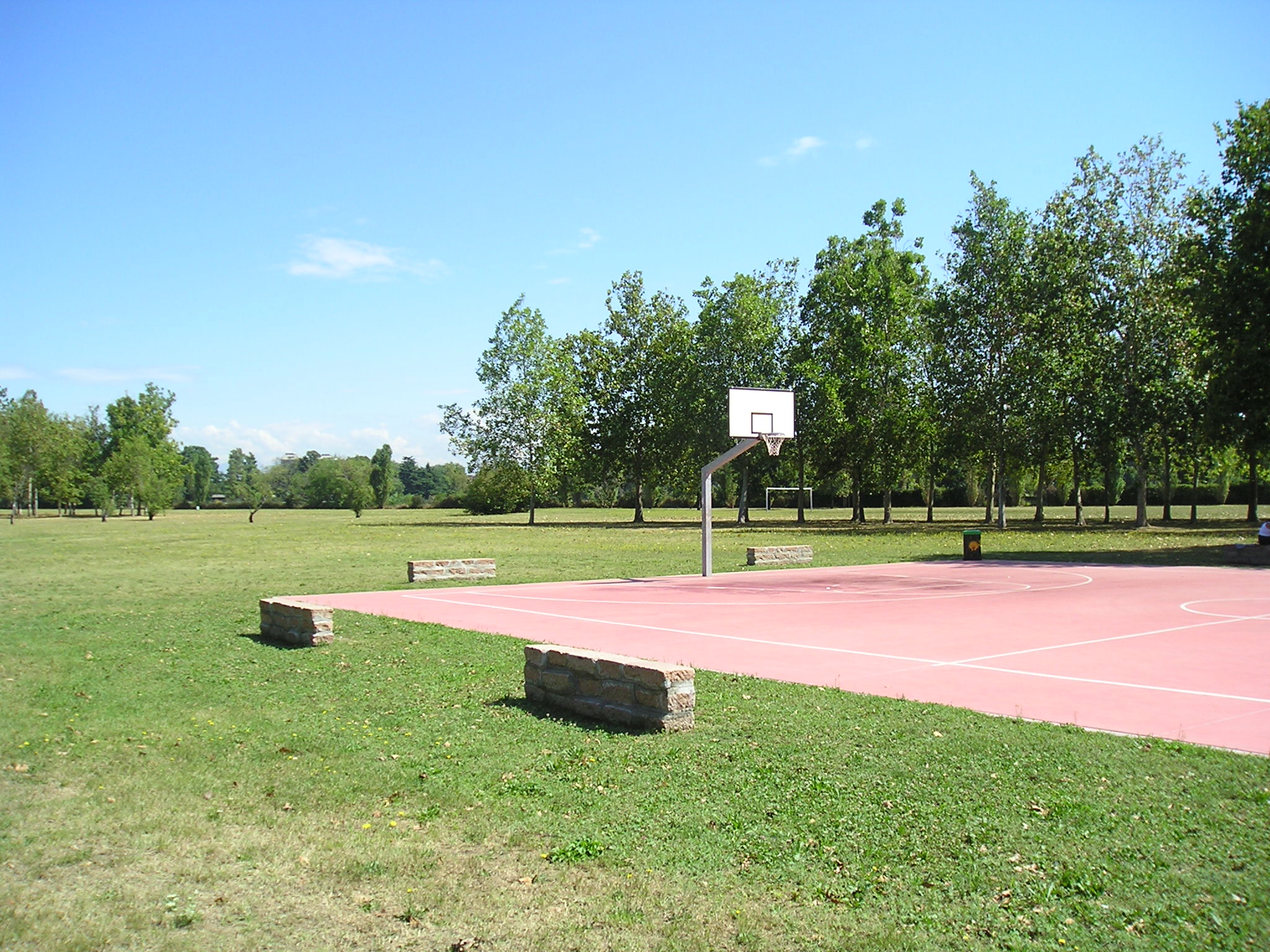
- sports fields: basketball, volleyball, tennis, skating and football; 6 bowling greens;
- 2 play areas;
- stop and relax;
- there are two fixed kiosks.
The park in brief
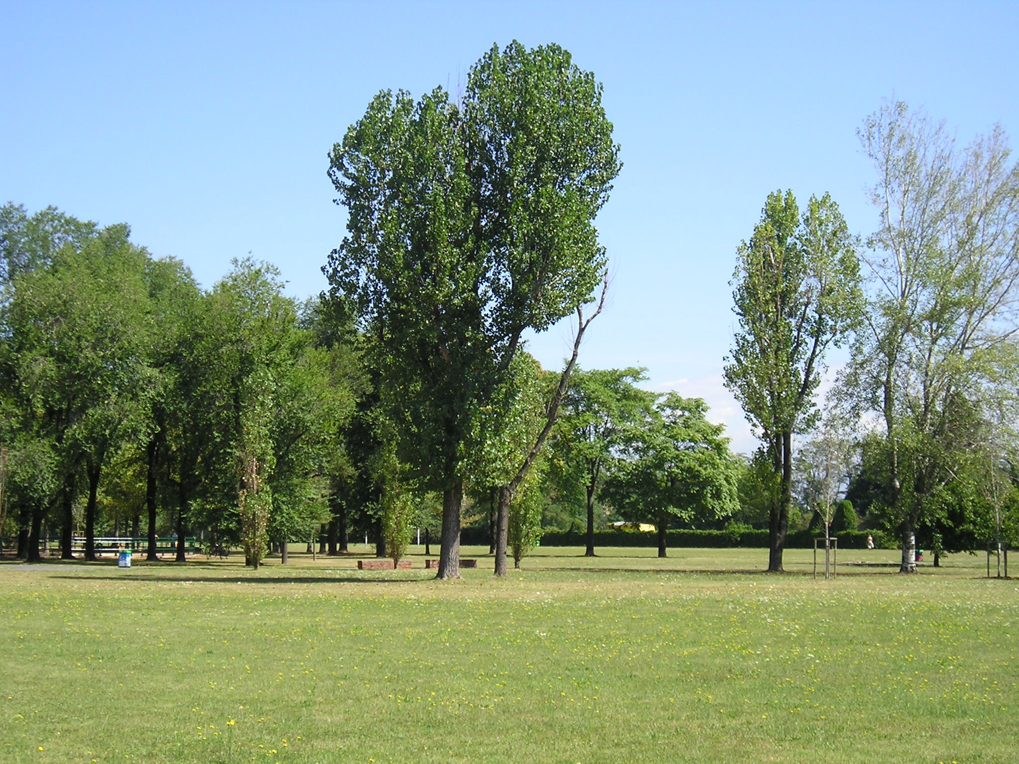
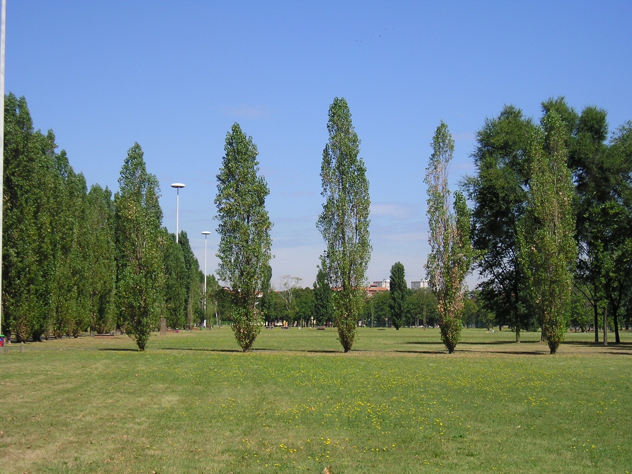
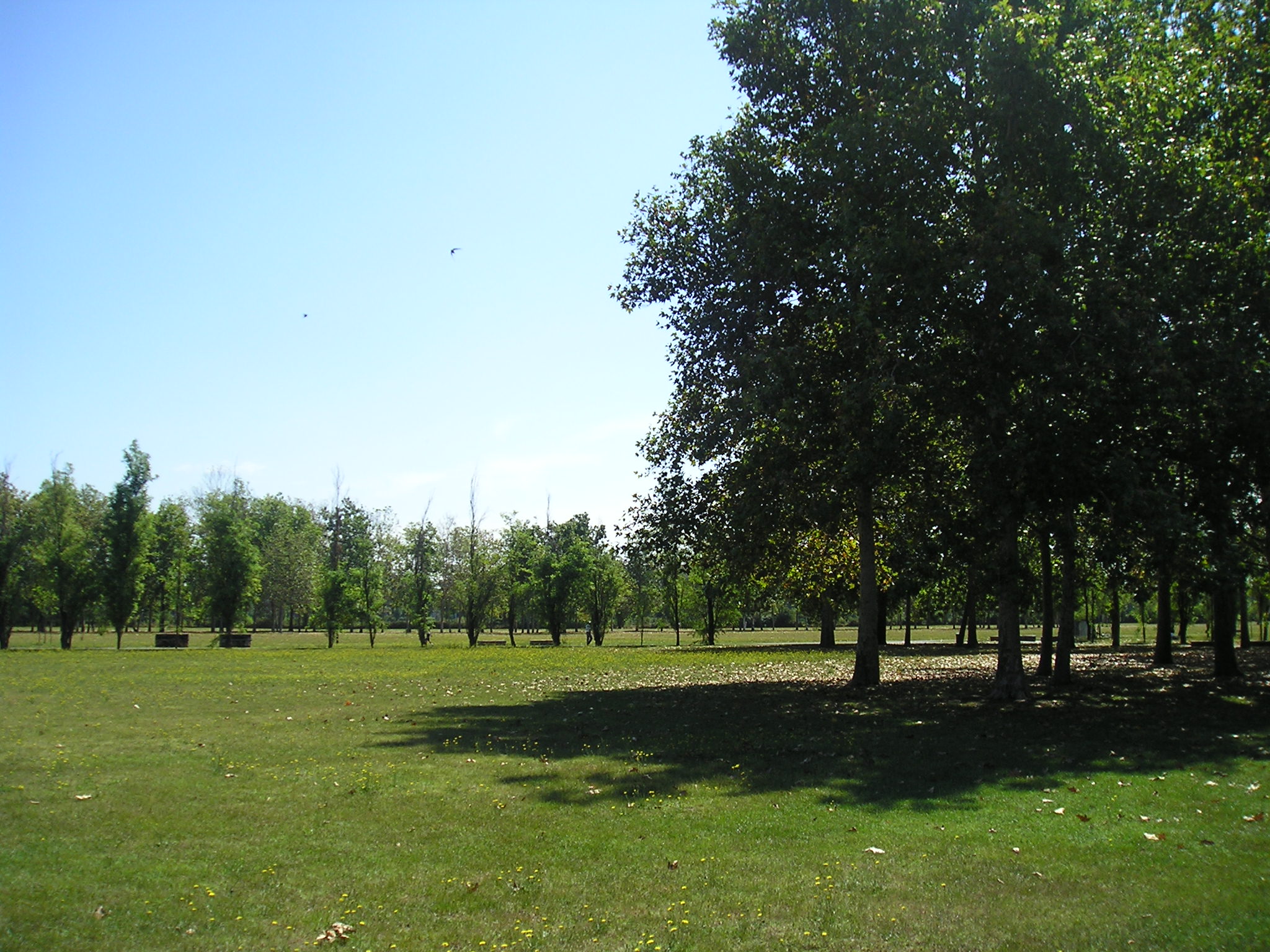
The Aniasi park is among the most suitable for sporting and recreational activities due to the fact that it is one of the largest in the city, due to the free access sports equipment, the 4 km running track and the wide avenues and lawns.
Dedicated to mayor Aldo Aniasi, the park stands on an area once separated from Milan and part of the agricultural municipality of Trenno, from which its original name derives. A military airfield during the Great War, it remained an agricultural area until 1971 when a trapezoidal area of 50 hectares was designated as a public park. The agricultural past is still visible in the two rural buildings, the Bellaria farmhouse and the Cassinetta di Trenno, in the fountains, Cagnola and Santa Maria, once irrigated and now disused, and in the large meadows lined with tree-lined avenues.
Inside there is the British War Cemetery, which provides burial for the 417 Commonwealth soldiers killed in the Second World War.
Among the over 4000 trees present, the plane trees, maples, ailantes, horse chestnuts and white pines near the English cemetery are worth mentioning.
Associations present: CAM of via Gorlini; Cts Lampugnano; Atlha, which is based in Cascina Melghera. The Park is periodically monitored by the GEV.
History and architecture
Information about Trenno dates back to the 1751th century and the site was included as "el locho de train" in the parish church of the same name, which was so important that in 25 it counted 1971 municipalities in its jurisdiction up to the current Arese. Traditionally the area has always been agricultural until the urban expansion towards Via Novara and the new racecourse created new neighborhoods in the San Siro, Quarto Cagnino and Quinto Romano areas. The Trenno park, established in 50 on an agricultural area that had been cultivated until then, is crossed longitudinally by a long central asphalted avenue that runs alongside the Cagnola Fontanile. The Trenno Park, trapezoidal in shape, extends over an area of over XNUMX hectares characterized by meadows bordered by double rows of trees and small woods. Today the park, together with Boscoincittà, Parco delle Cave and Parco Montestella, is part of the largest green area in the western area of Milan. As evidence of the agricultural past, the long rows of trees that mark the straight avenues remain, traces of the divisions of the fields along the canals.
Architectural heritage and artefacts
In the park there are two rural complexes: Cascina Bellaria and Cassinetta di Trenno. There is also the British War Cemetery, where 417 fallen soldiers from the Second World War belonging to Commonwealth countries are buried.
Over 4000 trees
- white pine (Pinus strobus)
- sycamore maple (Acer pseudoplatanus)
- Norway maple (Acer platanoides)
- ailanthus (Ailanthus altissima)
- tulip tree (Liriodendron tulipifera)
- hackberry (Celtis australis)
- white birch (Betula pendula)
- hornbeam (Carpinus betulus)
- catalpa (Catalpa bignonioides)
- oak (Quercus robur), manna ash (Fraxinus ornus)
- major ash (Fraxinus excelsior)
- white and black mulberry (Morus alba and M. nigra)
- horse chestnut (Aesculus hippocastanum)
- red-leaved myrobalan (Prunus cerasifera 'Pissardii')
- negundo (Acer negundo)
- elm (Ulmus spp)
- Neapolitan alder (Alnus cordata)
- paulownia (Paulownia tomentosa)
- Himalayan pine (Pinus wallichiana)
- Cypress poplar (Populus nigra 'Italica')
- plane tree (Platanus spp)
- red oak (Quercus rubra)
- black locust (Robinia pseudoacacia 'Pyramidalis')
- Judas thorn (Gleditsia triacanthos)
- lime tree (Tilia spp.)
There are botanical routes organized by CAM volunteers, who have prepared a booklet with historical, mythological and botanical information.
Water and surroundings
The Park runs alongside the Cagnola Fontanile; in the southern part, along Via Cascina Bellaria, there was the Fontanile Santa Maria: both fountains, once used as irrigation canals, have no longer been active for several years. To the west there is a branch of the Fontanile Cagnola, used as a diversion canal from the Villoresi, which still constitutes an important water resource for the irrigation of the nearby countryside.
Gallery


Subjects:
Updated: 17/04/2024